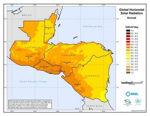
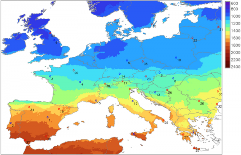
The United Nations Environmental Programme (UNEP) is hosting an online guide that ISES developed together with UNEP and partners from the German Aerospace Centre (DLR), the U.S. National Renewable Energy Laboratory (NREL) and the State University of New York at Albany. This guide helps users make an educated decision when deciding which solar dataset to use for a specific application and/or at a specific location. Knowledge of solar energy resources is essential for the planning and operation of solar energy systems. Different organisations provide several autonomous solar data covering various spatial and temporal periods with various resolutions. Solar data sets differ in spatial and temporal resolution, time period covered, and methodology used. Some of these datasets are available for free, while some are not, and they all may provide varying results. As a result, most users cannot verify the suitability of a given solar dataset or map for a specific application. This can lead users to abandon their search or make non-appropriate use of the information. This simple guide tool was developed to help alleviate this problem. The online user-friendly guide helps expert and non-expert users to decide which solar resource data sets are the most appropriate depending on a type of application that the user is interested in and the location. The programme relates information back to two information tables: one related to a compilation of a selection of existing satellite based solar datasets and their metadata and the other defines specific requirements a dataset should meet for specific solar application. The solar dataset guide is available to use for free from the UNEP Climate Change website here

